News & Events

Join us for the 16th Annual Memorial Day Celebration on May 25th at 11:00 am, period music starts at 10:30am, hosted by Mt. Gilead Cemetery Association, Golden Triangle Rotary Club and Keller Rotary Club
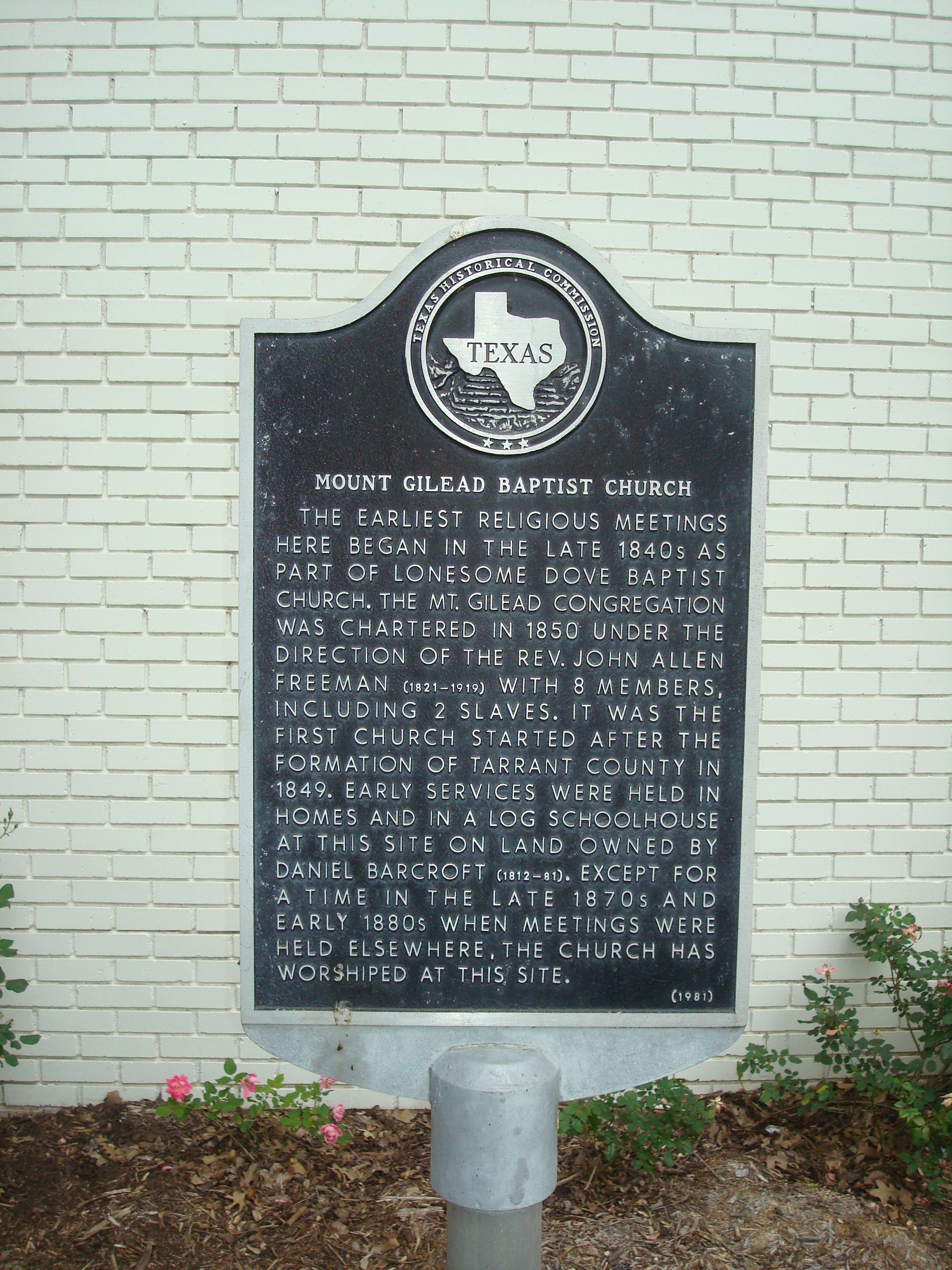
A map of the Mt.Gilead cemetery has been created and has been divided into quadrants. The map quadrant of each headstone is provided in the data below. The map can be found in the photo section of the Usgenweb Project found on the internet at www.usgenweb.org.
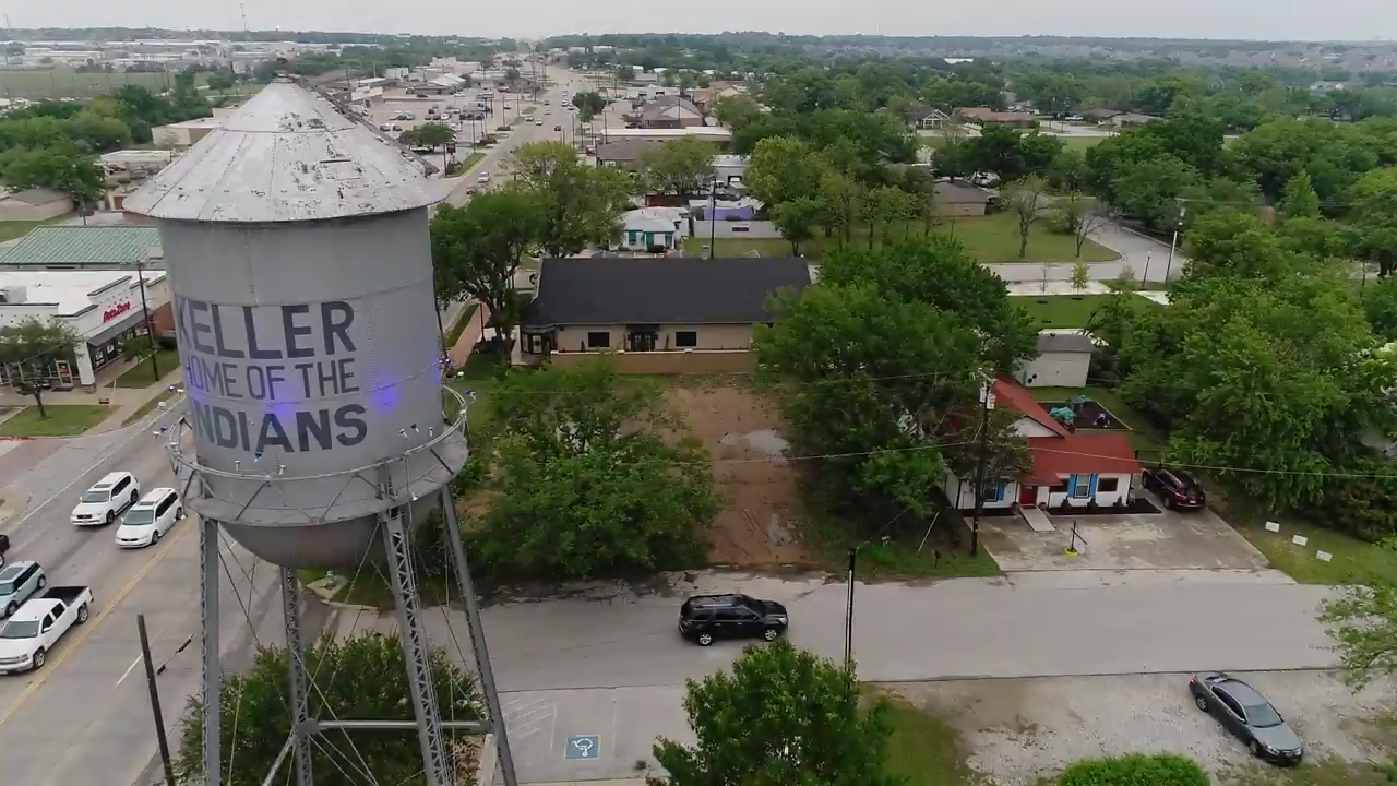
Experience the serene beauty of Mt. Gilead Cemetery from a new perspective with our recently captured drone footage showcasing the peaceful grounds and historic layout. This aerial view reveals the timeless tranquility that has made our cemetery a cherished resting place for nearly two centuries.
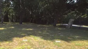
I think they were using ground penetrating radar or some similar technology to figure out where these unmarked graves are and the small stones were the ‘hits.’ I finally found something on Google. But it says “outside the cemetery proper” and this was definitely inside the fence. Hmm.” – David Cole